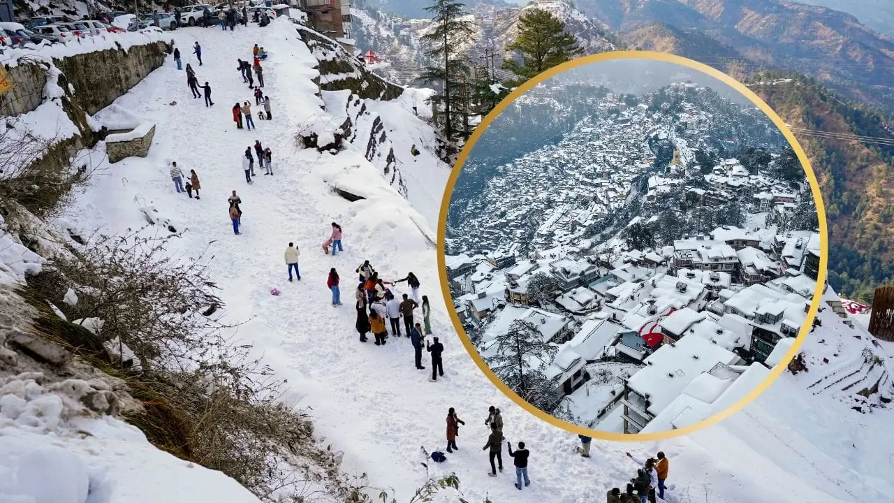
Winter’s final act in India roars in with a vengeance, courtesy of an active western disturbance. Over the coming 24 hours, expect transformative weather in Delhi-NCR, Punjab, UP, and central belts—torrents of rain, hail pelting down, snow in highlands, and winds gusting fiercely. IMD’s outlook signals no calm before February.
Key hotspots: Thunder-rain and snow likely in J&K, Ladakh, Himachal, Uttarakhand on 27-28 Jan, winds at 40-50 km/h. Haryana-Chandigarh-Delhi-Rajasthan-west MP brace for hail 27th; Punjab-Haryana light-moderate rain; UP windy rains both days. Bihar rains 28th; isolated in MP-Chattisgarh.
Fog aftermath: Dense cover choked western UP (<50m vis), Punjab, east MP, Meghalaya this AM. Temps stubbornly low—5-10°C northwest-wide, Rajasthan's Alwar at 4.5°C. Himachal's chill unrelenting.
Kashmir snowstorm halted all Srinagar flights (58 total: 29 in, 29 out) Tuesday—safety first as runways iced over. Normalcy post-weather thaw. Mumbai countered with its second odd January rain, suburbs bearing the brunt.
This pulse disrupts flights, roads, farms—urging proactive measures like crop covers, travel checks, wind precautions. Communities gear up as nature reminds of its power, closing January on a wet, wild note.

